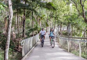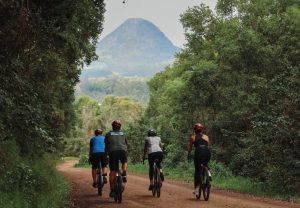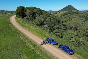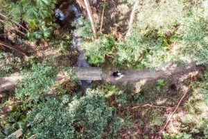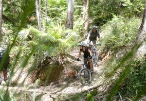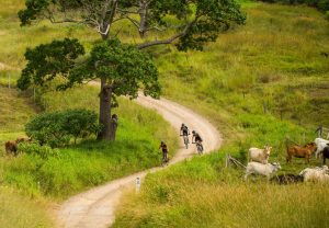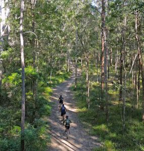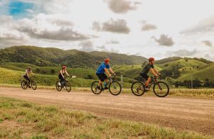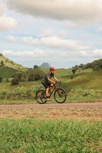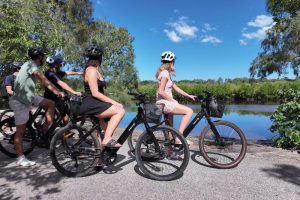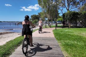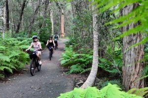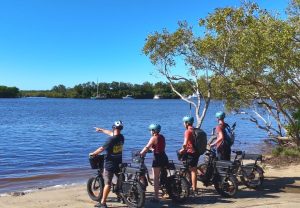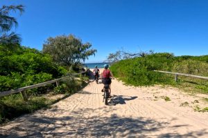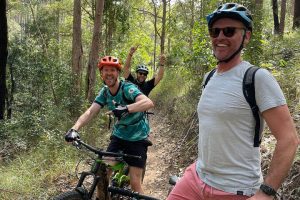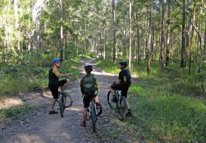


Our self-guided hinterland rides start high in the ranges above Cooran or at Pomona and run one way back down to Noosaville, through railway towns, old timber country, national parks and quiet farming valleys. You can ride them as a self-guided gravel ride or a self-guided mountain bike ride, on your own bike or one hired from our sister company Bike On. This guide tells the stories of the places you’ll pass, grouped by area in roughly the order you meet them, so you can read ahead or look something up on the way.
In the Ride Guide, a stop on your map reads a short version aloud as you arrive, and its More about this place link opens the right section of this page.
This is Kabi Kabi Country. Where we give the meaning of an Aboriginal place name, it is the meaning recorded by reliable sources, and where sources differ we say so.
Cooran and the Tablelands
Most of our hinterland rides begin high on Tablelands Road at the James McKane Memorial Lookout and drop steeply to Cooran, the railway town that was the end of the line from Gympie in 1889. From the lookout you can trace much of the day ahead, from Mt Cooroora to the coast.
James McKane Memorial Lookout
Most of our hinterland rides start here, at about 330 metres on Tablelands Road above Cooran. The lookout park is a stop on the Noosa Trail Network, with picnic shelters, barbecues and toilets, and on a clear day the view runs across the hinterland to the coast, with the volcanic peak of Mt Cooroora standing out. The trail network’s guide says its lookouts take in Mt Cooroora, Mt Cooroy, Mt Coolum, Mt Tinbeerwah, Lake Cootharaba and the Cooloola coast. Walkers and riders also use the lookout as a trailhead for the steep network trails that drop through the rainforest of nearby Woondum National Park to Kin Kin. Locals tend to call it the Tablelands Lookout. Check your brakes and take a last look before the descent.
Cooran
Cooran began as a stop on the road between the Gympie goldfields and Tewantin. By 1877 William Casey was licensed to sell drinks at his Halfway House and stables, and in 1889 the railway from Gympie reached the new station of Cooran. That December William Martin moved his hotel licence to a new hotel at the station, and Cooran stayed the end of the line until the track pushed south to Pomona and Cooroy in 1891. Timber cutters had been working here since the 1870s; dairy farmers followed, then bananas in the 1920s and 30s and pineapples after the Second World War. The name comes from guran or kuran, meaning tall in the Kabi Kabi language, which may refer to Mt Cooran or to the tall Moreton Bay ash trees. The community hall dates from 1906.
Woondum and the Mary Valley Edge
North and west of Cooran the rides go deep into the ranges: the tall forest of Woondum National Park, the Mothar Mountain rock pools, and the quiet grazing valleys of Beenaam and Traveston, where the streams run west to the Mary River. In June 2024 the Federal Court formally recognised Kabi Kabi native title in the Noosa area, and several places here are significant to the Kabi Kabi First Nation.
Woondum National Park
Woondum National Park covers about 4,000 hectares of steep ranges between Cooran, Kin Kin and Mothar Mountain. It was long managed as State forest, and in 2009 it became a national park. The Queensland Government records the name as reportedly coming from Kabi words for blue tongue lizard and place. Tall eucalypt forest covers the ridges, with rainforest in the sheltered gullies and creeks tumbling over boulders below. Foresters prized Woondum’s spotted gums because they resist a fungal leaf and shoot disease, and seed from here went to plantations across south east Queensland. The park holds fourteen regional ecosystems, including endangered gallery rainforest, and records of koalas, sooty owls, plumed frogmouths and the tusked frog. The Kabi Kabi First Nation holds deep connections here, and the Mothar Mountain rock pools and Kabi Boys Creek are significant cultural sites.
Mothar Mountain Rock Pools
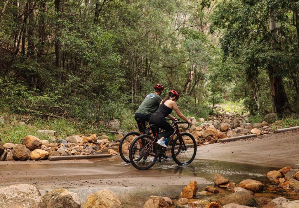
At the western foot of Woondum National Park, Boulder Creek spills through a chain of rock pools that are a favourite with day trippers from Gympie. The day-use area has picnic facilities and toilets, and a steep 3.2 kilometre return walk climbs to the summit of Mount Boulder. The pools and nearby Kabi Boys Creek were used for Kabi Kabi initiation ceremonies, and they remain significant to the Kabi Kabi First Nation today. Mothar Mountain itself was once also written “Mother Mountain”. Its little school opened in 1908 and closed in 1970, and the 1957 public hall is on the Gympie local heritage register.
Beenaam Valley
At the northern end of these rides the route drops into Beenaam Valley, a small farming valley under the Beenaam Range, about 20 kilometres east of Gympie. Gympie’s name comes from a Kabi word, gimpi, for the stinging tree. The official locality spelling is Beenaam, though you will see Beenham on the road signs. Around 60 people live here among grazing paddocks and crops. Like its neighbours Cedar Pocket and Neusa Vale, the valley once had its own small school: Beenam Range opened in 1912 and finally closed in 1965, when families voted to replace the bush schools with a central school at Greens Creek.
Traveston
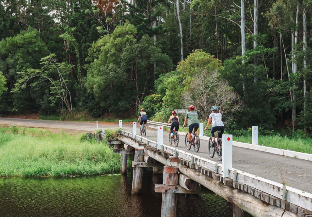
Traveston is probably named after the Traverston pastoral run of the 1850s. When James Nash wrote in October 1867 to claim the reward for his Gympie gold find, he described the field as lying between Curra and “Traviston”. The North Coast railway reached Traveston from Cooran in June 1889, and in 1898 the powder magazine for the Gympie mines was moved here because it was considered too close to town. Nash himself was its keeper until he retired in 1912. After the First World War locals bought the building and turned it into the Traveston Soldiers’ Memorial Hall. About eight kilometres west, Traveston Crossing on the Mary River was chosen in 2006 for a large dam to supply south east Queensland. After a long community campaign, federal environment minister Peter Garrett refused it in late 2009 because of its impact on the Mary River cod, the Mary River turtle and the Australian lungfish.
Mary River country
The farms around Tuchekoi, Federal and Coles Creek drain into the Mary River, which runs about 310 kilometres north past Gympie to the Great Sandy Strait. The river was named in 1847 for Lady Mary, wife of Governor Charles FitzRoy. Cedar cutters rafted logs down it in the 1800s, and by the 1950s the Mary Valley was one of Queensland’s most important dairy districts, making about 15 per cent of the state’s butter. Pineapple growers later kept the Mary Valley branch railway running, and today the Mary Valley Rattler steam train still runs from Gympie. The river is famous for three animals. The Mary River cod lives naturally only in this catchment. The Mary River turtle is found only in the Mary and can breathe through its cloaca, staying underwater for days. The Australian lungfish occurs naturally only in the Mary and Burnett rivers and belongs to a group that first appears in fossils 380 million years old.
Kin Kin and Cootharaba
Over the range from Woondum, Kin Kin Creek runs east into Lake Cootharaba and the Noosa Everglades system. Timber cutters, selectors, banana growers and dairy farmers built the valley’s villages, and the view from Cootharaba Lookout shows where all that water goes.
Kin Kin Sawmill
Just before the village, Sister Tree Creek Road passes one of the last working country sawmills of its era on the North Coast. Arthur Hempsall and his son Lionel set it up in 1948 to cut softwood for the wooden cases that carried the district’s fruit to market. Case milling peaked the following year, and as cardboard cartons took over, the mill turned to pallet timber and hardwood for power pole cross-arms and railway sleepers. The Hempsall family ran it until 1991. It was added to the Queensland Heritage Register in 2008 because so much of its original layout and machinery survives.
Kin Kin
Kin Kin is the heart of the northern hinterland and a natural regroup point on our longer rides. Nobody quite agrees on the name. The Queensland Government records it as reportedly from a Kabi word, kauin kauin, for the red soil drained by Kin Kin Creek, while many locals prefer “plenty of black ants”, which is why an ant sculpture stands outside the general store. Timber getters worked the ranges from the late 1870s and floated logs down Kin Kin Creek to the sawmill on Lake Cootharaba. In 1905 the Lands Department opened 6,000 acres for selection, and bananas and dairying followed; the Kin Kin Dairy Company ran from 1914 to 1937. The two storey hotel, designed by Cooroy architect William Fenwick, opened in November 1915. It lost its roof and verandahs in the 1971 tornado, took around three metres of floodwater in April 2009, and reopened in late 2023 after a long restoration. Look out for the old post office, bank and School of Arts on Main Street.
Cootharaba Lookout
Locals called it Shepperson’s Lookout for decades, after the Shepperson family who ran a dairy farm on the hill. Sydney Wallace Shepperson took up his selection on Sheppersons Hill in 1935 and was president of the Kin Kin Cricket Club, and his wife led the local Country Women’s Association. In September 2026 Noosa Council finished an upgrade and the site now carries the name Cootharaba Lookout, with two new viewing platforms, picnic seating, shade, water, a horse hitching post and more than 700 native trees and shrubs. It sits on the Wahpunga Trail, the spine of the Noosa Biosphere Trails, so you may share the track with walkers and horse riders.
The view east is over the Noosa Everglades system. It is one vast, interconnected system that runs about 65 kilometres from the coastal wetlands through the lower lakes to the upper Noosa River, with a catchment of about 85,000 hectares, more than 50 ecosystems and over 700 native species. Lake Cootharaba is its largest lake and the gateway to the upper river, known as the River of Mirrors. Downstream come Lake Cooroibah, Lake Doonella and the lower estuary, and at the southern end is Lake Weyba, the system’s southern gateway. It is often described as one of only two everglades in the world, the other being in Florida.
Boreen Point and Lake Cootharaba
Through Lake Country swings out to Boreen Point on the shore of Lake Cootharaba, the largest lake on the Noosa River. It is roughly 10 kilometres long and about 25 kilometres around, yet averages only about a metre and a half deep. The river flows in from the north through the Noosa Everglades system, often described as one of only two everglades in the world, and leaves to the south towards Noosa Heads, while Kin Kin Creek feeds the top of the lake. The Queensland Government records several possible meanings for Cootharaba, including the Indigenous name for the lake, a place where wood for notched or studded clubs could be found. In 1870 the timber company McGhie, Luya and Co took up land at Mill Point, a few kilometres north, and built the Cootharaba Sawmills, later adding a tramway to haul cedar logs from the hinterland. The mill closed in 1892. Boreen Point came later, with its estate blocks auctioned in 1933, and it is now known for sailing regattas.
The Apollonian Hotel
The Apollonian Hotel at Boreen Point started life on the goldfields. Robert “Billy” Barlow, a well known monologue entertainer, built it in Gympie around 1868 as a music hall hotel, a year after James Nash’s gold find turned Gympie into a boom town. It passed through several owners and closed in 1951. In the late 1980s the building was taken down, carried to Boreen Point in four pieces and rebuilt beside the lake, where it opened again as a hotel. Heritage Noosa describes it as one of the last surviving timber music hall hotels of its era, with wide verandahs under a broad pyramid roof. On a ride that passes Traveston, where Nash first described his field, it is a fitting end to the gold rush thread.
Pomona and Mt Cooroora
Mt Cooroora watches over Pomona, the railway town that was Noosa Shire’s seat for seventy years. The Cooroora Trail links it with Cooran through Tuchekoi National Park, and Pomona’s cafes make it the natural halfway stop.
Cooroora Trail
The Cooroora Trail is Trail 5 of the Noosa Trail Network, a set of signposted trails for walkers, horse riders and mountain bikers linking Pomona, Cooran, Kin Kin, Lake Macdonald and Cooroy. This 9 km stretch between Cooran and Pomona is largely in Tuchekoi National Park, around 390 hectares of bushland around Mt Cooroora, and gives wonderful views of Mt Cooroora and Mt Cooran. You will pass gates, picnic shelters and heritage signs along the way. Much of the network crosses private farmland, so please shut every gate behind you, do not skid, and give way to walkers and horses. After heavy rain the tracks become slippery, and some sections may be closed, so check before you ride. Trails like this are part of why Noosa is emerging as one of Australia’s great winter cycling destinations.
Mt Cooroora and the King of the Mountain
Mt Cooroora is a 439 metre intrusive volcanic plug, the high point of Tuchekoi National Park and the backdrop to every view of Pomona. Its name is an Aboriginal one, recorded by early settlers as Karura. The mountain is best known for the King of the Mountain. The story goes that in 1958 Bruce Samuels, a local footballer and railway porter, ran to the top as a hangover cure, then won a £100 wager that he could do it again in under an hour. A formal race followed in 1959, the Cooroy Pomona Lions Club revived it in 1979, and it grew into a July festival for the whole district. The race is no longer run: in 2024 the organisers announced it would end, after new permit conditions for protecting the track. Look up from Pomona and you can still pick out the runners’ track up the mountain. A walking path climbs to a viewpoint above the tree line; the true summit is a steep rock scramble.
Pomona
Pomona is the halfway town on many of our hinterland rides, and the obvious place for a coffee. It began as a railway siding when the North Coast line came through in 1891, on land first cleared by timber getters and then farmed for dairy, sugar cane and fruit. The siding was briefly called Pinbarren, because railway and postal staff kept confusing Cooran, Cooroora and Cooroy, and in 1900 locals settled on Pomona, after the Roman goddess of fruit. When Noosa Shire was formed in 1910, Pomona was its biggest town and became its seat, until the council moved to Tewantin in 1980. The 1911 council chambers on Factory Street are now the Noosa Shire Museum, and the same street keeps the 1919 butter factory. The original station buildings, closed in 1991, were moved across the tracks in 2000 and reopened in 2001 as the volunteer run Pomona Railway Station Gallery.
Majestic Theatre
A short walk from the station, the Majestic Theatre is worth a few minutes off the bike. It was built in 1921 as a social hall with shops, was soon screening films, and showed Pomona’s first talkie on 28 April 1931. Ron and Mandy West took it over in 1974. In 1987 Ron played the music live on his restored Wurlitzer organ for a screening of Rudolph Valentino’s 1926 film The Son of the Sheik, and before long the Wests were showing nothing but silent films. The Majestic is promoted as the oldest authentic silent movie theatre in the world and as Queensland’s longest continuously operating picture theatre, and it joined the Queensland Heritage Register in 2009. The volunteers of Pomona Arts Inc now own and run it, and its 1937 Compton organ was relaunched in 2019 after six and a half years of restoration.
Ringtail, Yurol and Lake Macdonald
Between Pomona and Tewantin the rides cross the Yurol and Ringtail forests, once state forest and plantation and now being returned to national park, follow part of Walter Hay’s 1870 coach road, and pass Lake Macdonald, Noosa’s water supply.
Yurol and Ringtail forests
East of Pomona the gravel runs into the Yurol and Ringtail forests. For decades this was state forest, much of it planted with pine. When Queensland’s plantation forests were privatised, the Noosa Parks Association approached the plantation owner and negotiated a price, and the state, Noosa Council and the association shared the cost of buying Yurol and Ringtail, a deal delivered in 2018. In 2022 the Queensland Government announced that more than 2,400 hectares of former state forest and plantation would join Tewantin National Park once the last pine and hardwood harvest was done, with replanting to follow. The Kabi Kabi Peoples are working with Queensland Parks and Wildlife Service on managing and revegetating the park. Drone surveys have found koalas here, and the forest is habitat for threatened species including the giant barred frog and the Richmond birdwing butterfly. Yurol Forest Drive carries fast traffic, so ride single file.
Ringtail Creek Road and the 1870 Shortcut
This road carries a piece of Noosa’s founding story. Gold was found at Gympie in 1867, and the only coach road ran the long way south to Brisbane, with bushrangers waiting on the return trip. Walter Hay, remembered on his gravestone as the father of Noosa, was engaged to cut a direct track from the goldfields to a new port on the lower Noosa River, and he rode into Tewantin at the end of the job just before Christmas 1870. His Shortcut ran through Cooran and the Ringtail scrub and soon carried Cobb and Co coaches, until the railway at Cooran and later Cooroy took the traffic. Local historian Phil Jarratt traced the coach route along this road. Beyond the gravel it continues as Trail 4 of the Noosa Trail Network, and its rough Alt 4 section follows the original 1870 road. Like Hay, you are heading from the goldfields side down towards the river.
Lake Macdonald
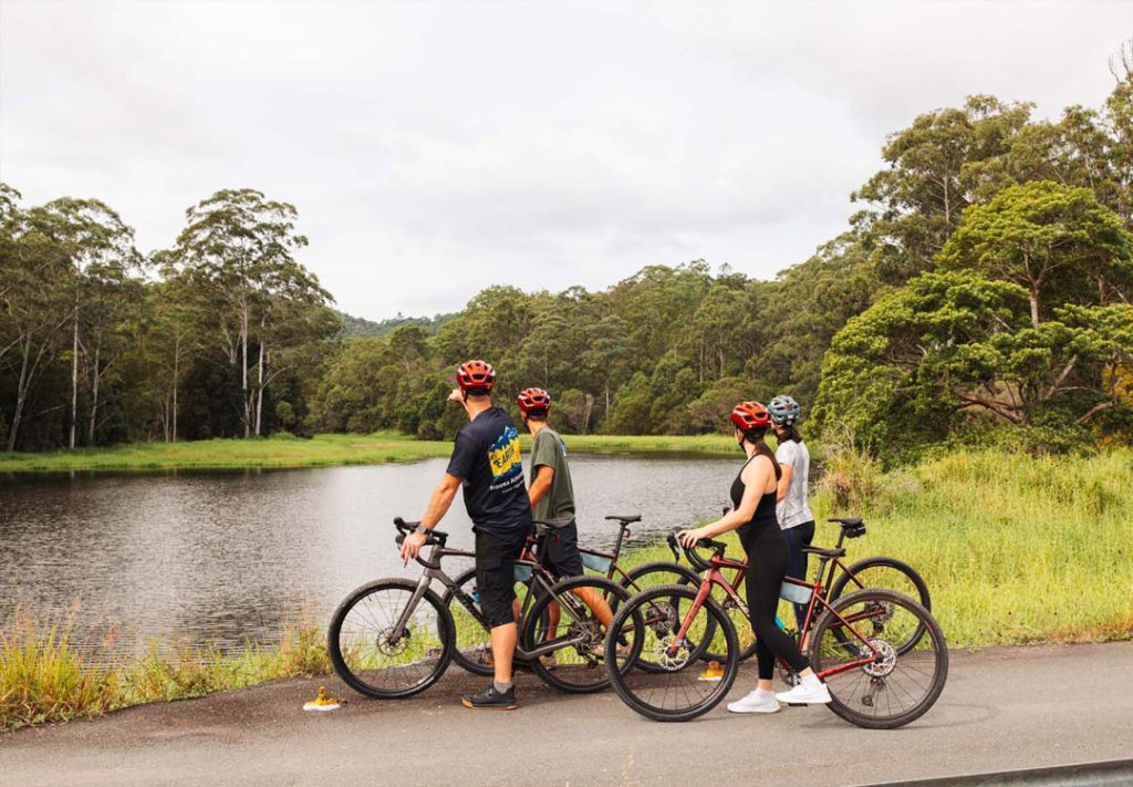
Lake Macdonald is Noosa’s water supply. It formed behind Six Mile Creek Dam, built in 1965 and raised by 3.6 metres in 1980, and now holds about 8,018 megalitres across roughly 260 hectares. It is named in memory of Ian MacDonald, a former chairman of Noosa Shire Council. Seqwater is upgrading the dam with a new spillway and rebuilt embankments, and the lake has been kept lower while the work goes on. Anglers know it for Mary River cod, bass, yellowbelly and saratoga, and a hatchery beside the lake has bred the endangered cod for release into the Mary River catchment. Paddlers and birdwatchers love it too. If you have time, the Noosa Botanic Gardens on Lake Macdonald Drive, opened in 1990, have eight hectares of gardens, a bush chapel and a Greek style amphitheatre, a short detour from the route.
Tewantin National Park and Gyndier Drive
The last big descent comes off the range on Gyndier Drive, the old Cooroy to Tewantin road, to the Wooroi trailhead of Tewantin National Park.
Gyndier Drive (Garmin Hill)
Gyndier Drive is the old range road between Cooroy and Tewantin. Noosa Library holds photos of the “Cooroy-Tewantin Range Road (Gyndier Drive)” being built in the early twentieth century, and the Cooroy to Tewantin road that opened in December 1928 was the first main road built in Noosa Shire. Traffic has long since moved to the newer road, and bollards now close Gyndier at each end, leaving about 3 km of forest road between Sunrise Road and the bottom of the range for bikes and walkers.
It has a racing pedigree. The Noosa Beach Classic Car Club has run the Noosa Hill Climb here since 1998, on a 1.5 km closed course with 14 tight corners. The Noosa Triathlon, first held in 1983 and now the Garmin Noosa Triathlon, billed as the world’s largest Olympic distance triathlon, sends its bike leg up the same climb about 10 km in, which is why racers call it Garmin Hill. On a normal day it is quiet, so watch for walkers.
Tewantin National Park, Wooroi
Coming off the forest roads, the Wooroi day-use area is where many of our hinterland rides meet the mountain bike trails of Tewantin National Park. The park protects rainforest, open eucalypt forest and the last wallum remnants between Noosa and Cooroy, on the traditional Country of the Kabi Kabi people. Most of it was State Forest 959 until 2010, when years of lobbying by the Noosa Parks Association saw it declared national park, and land from the Yurol and Ringtail state forests has been added since 2011. A heritage site on Gyndier Drive keeps traces of an old forestry camp, including references to Chinese workers. Wooroi itself is a historic picnic ground under coastal she-oaks and bloodwoods, and the trailhead for eleven mountain bike trails managed by Queensland Parks and Wildlife Service with the Noosa Trailblazers Mountain Bike Club. Listen for eastern whipbirds, and keep an eye out for swamp wallabies, echidnas and glossy black cockatoos.
Koalas
Koalas share these hinterland forests with you, but the odds of seeing one are slim. They sleep through most of the day high in the eucalypts, and their grey coats disappear against the bark. Think of a sighting as a lucky extra, not something the ride promises.
Koala came into English from the Dharug language around Sydney, from gula, their name for the animal. It is often said to mean “no water”, as koalas get most of their water from the leaves they eat, but language experts doubt that. Here on Kabi Kabi Country the word was strikingly similar: goala, as recorded in a 1944 Kabi word list.
A century ago koalas were common across this country. Queensland officially traded about 4.5 million pelts between 1903 and 1927, including from the Noosa area, and its last open season, in August 1927, took close to 600,000. The public outcry ended the hunt for good, but by the 1960s so few were left that six koalas were moved from Caboolture into Noosa National Park. Koalas are now listed as endangered in Queensland.
The Yurol and Ringtail forests are where the comeback is happening. Bought back from plantation forestry in 2018, about 2,400 hectares are being added to Tewantin National Park. Noosa Landcare planted about 133,000 trees over 332 hectares between 2022 and 2024, focused on koala feed trees, and thermal drone surveys counted close to 300 koalas in the forest, with more than 500 expected as the replanting matures.
Keep half an eye on the canopy along Gyndier Drive and through the Yurol and Ringtail forests. If you find one, stay back and stay quiet. Report a sick or injured koala on 1300 ANIMAL (1300 264 625).
Lake Doonella and Lake Weyba
The finish runs beside the water. Most hinterland rides come home past Lake Doonella, and Forests, Farms & Foreshore follows the western shore of Lake Weyba, the southern gateway to the Noosa Everglades system.
Lake Weyba western shore
On Forests, Farms & Foreshore the last kilometres follow the western shore of Lake Weyba at Weyba Downs. The lake is the southern end of the Noosa Everglades system, and because the land around it was never rich enough to farm, much of it still looks as it did to its Kabi Kabi custodians. Their shell middens, scarred trees and a large stone fish trap at the southern end survive. In the 1890s, under the Co-operative Communities Land Settlement Act, 59 unemployed Brisbane men and their families, known as the Woolloongabba Exemplars, tried to make a living on this side of the lake, selling fish to Gympie and Brisbane. Their hand dug wells failed, and by 1896 the commune was gone. Eumarella Road is named after the Tainsh family property at Rocky Point, a picnic spot into the 1950s. To the south, Murdering Creek is thought to mark a massacre of Aboriginal people in the 1860s; historians have not settled the date or how many died.
Lake Doonella
Lake Doonella is the last stretch of water before you roll back into Noosaville, and a sign that a long day in the hills is nearly done. It is a shallow tidal lake joined to the Noosa River between Tewantin and Noosaville, edged with mangroves and seagrass, and one of the named parts of the Noosa Everglades system. The first land sold on the river, 80 acres in 1871, lay on its shore opposite Tewantin. For decades the lake cut Tewantin off from the Gympie Terrace settlement, until a timber bridge opened across its mouth on 19 October 1929 and about 700 cars queued to cross. Since 1983 it has been protected as a fish habitat area, now part of the Noosa River Fish Habitat Area, a nursery for bream, whiting, flathead, mud crabs and prawns. Look for black swans, pelicans and cormorants on the last kilometres home.
Where These Stories Come From
Every fact here was checked against the sources below, mostly Queensland Government, Noosa Council and Noosa Library records. If you know more about any of these places, or spot something we have wrong, please let us know.
Main sources: Heritage Noosa, Noosa Library local history, Queensland Places, Queensland Parks, Queensland Heritage Register, Sunshine Coast Council heritage, Noosa Parks Association, The Noosa Everglades, and the local history columns in Noosa Today.
Ready to Ride the Hinterland?
Every self-guided hinterland ride comes with the Ride Guide on your phone, with spoken directions and these stories along the way. Book a self-guided gravel ride or a self-guided mountain bike ride, or see our multi-day journeys. No bike? Hire a gravel bike, mountain bike or e-MTB from Bike On.